Bridging campus compliance, climate resilience, & education

Smart software built on peer-reviewed science
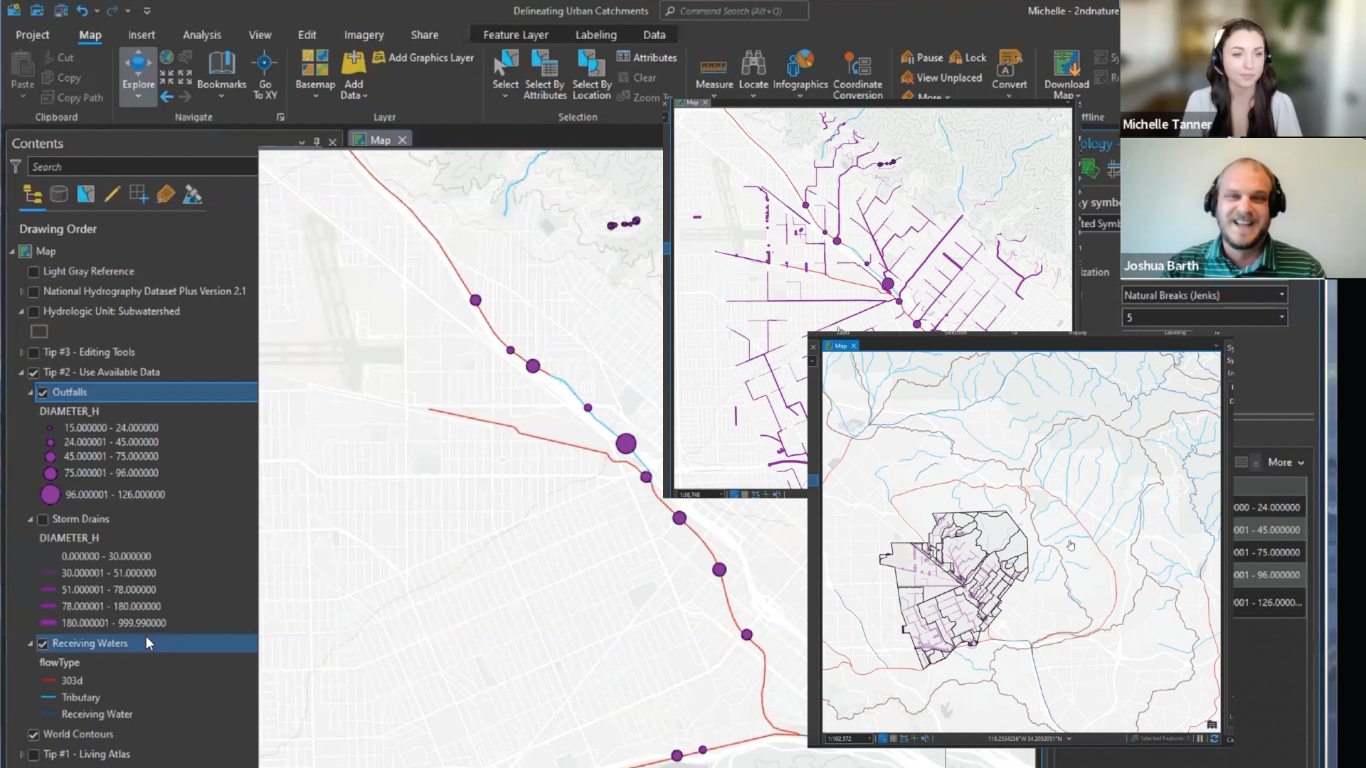
No other software incorporates applied science the way 2NFORM does. The scientists at 2NDNATURE are hard at work, expanding stormwater science and utilizing emerging technologies to create tools that transform stormwater management.
From predictive models that help you know when structural assets require maintenance to tools that let you quantify where trash collects on campus, these built-in analytics turn data points into valuable information.

Applied science education
2NFORM provides students and faculty with a new way of seeing their campus, and a new way of doing science. With the campus itself as a case study that shows how stormwater moves through the landscape, they can engage in hands-on data collection and interdisciplinary projects that bring together policy, science, engineering, and social science.
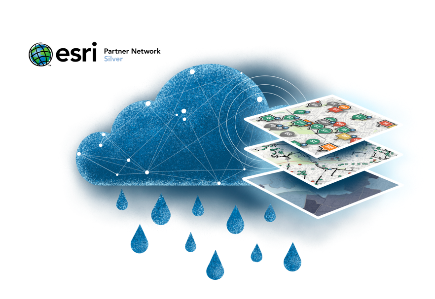
Stormwater software for a cleaner, greener campus

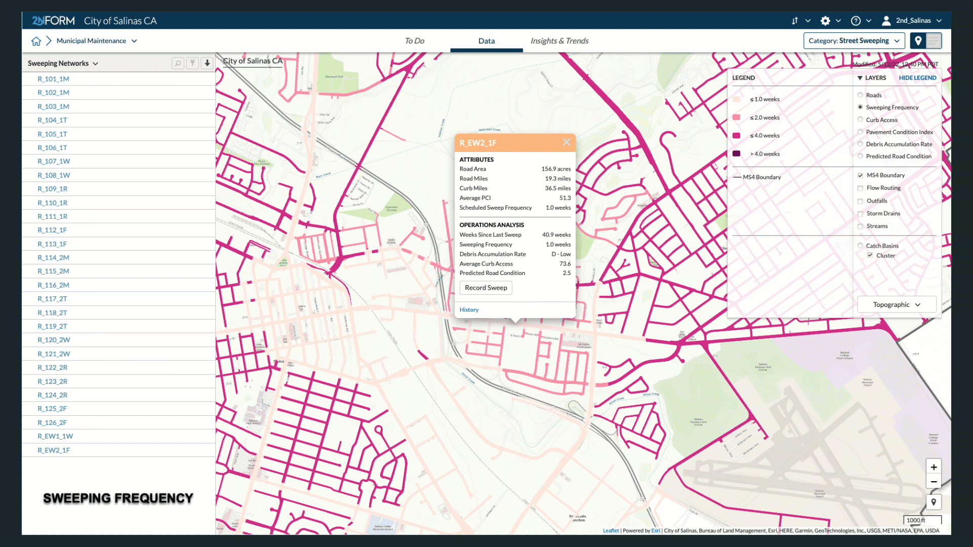
Municipal Maintenance

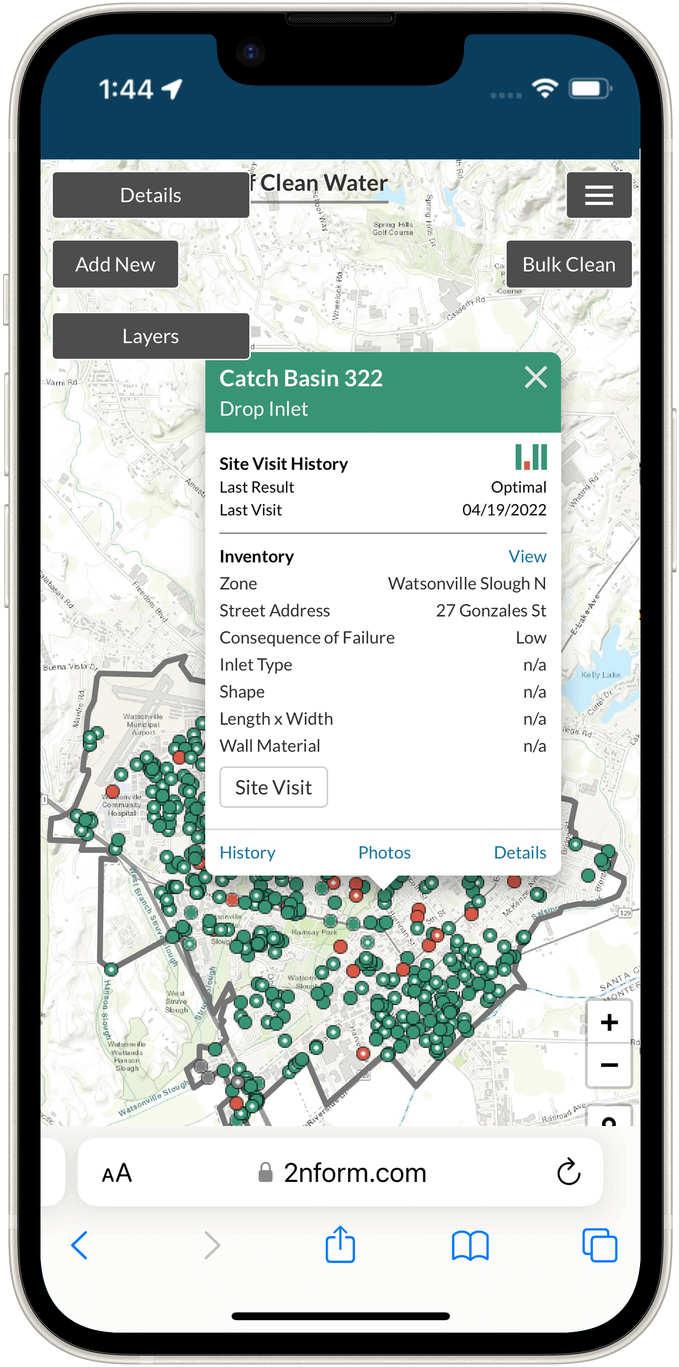
Structural BMP Diagnostics

Public Education & Outreach
Municipal Maintenance: Keep your campus in order by inventorying assets and optimizing operations
Build and maintain your O&M plan electronically to reduce and prevent polluted runoff from municipal operations reaching your waterways.
Organize the day-to-day tasks for the four fundamental requirements of your municipal maintenance program: catch basins, street sweeping, structural BMPs, and outfall inspections.

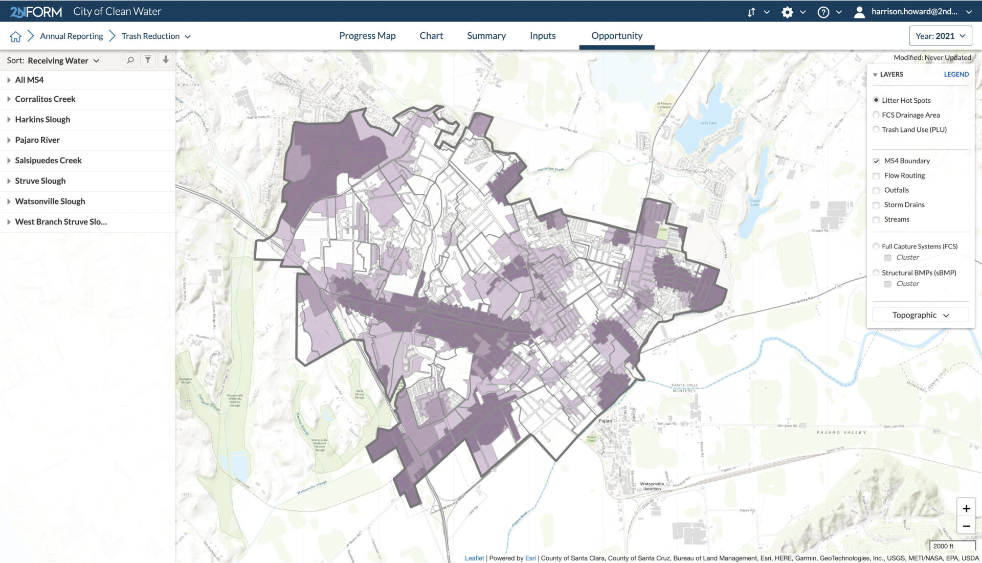
We needed a mapping tool to help us explore our watersheds, and help us know where we need to do the most work.”
Learn how Jackie is using 2NFORM to protect water quality for Watsonville.
Read case study
Always learning
Dive Into Our Helpful Resources
2NDNATURE case studies
2NDNATURE resources
2NDNATURE blog
Stormwater software as smart as you are
Educational institutions change the world, one student and one study at a time. Now change your approach to stormwater management, with software built on the best science, ready to help make your campus and your waterways cleaner.