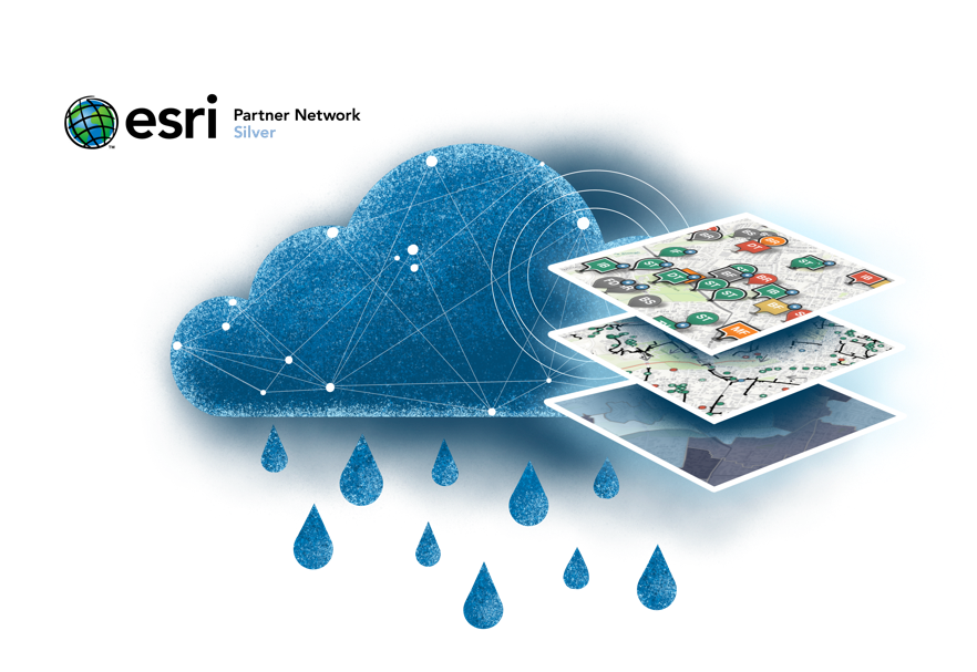
See the big picture
Get the complete picture of the health of all your structural BMPs with dynamic maps and reports.
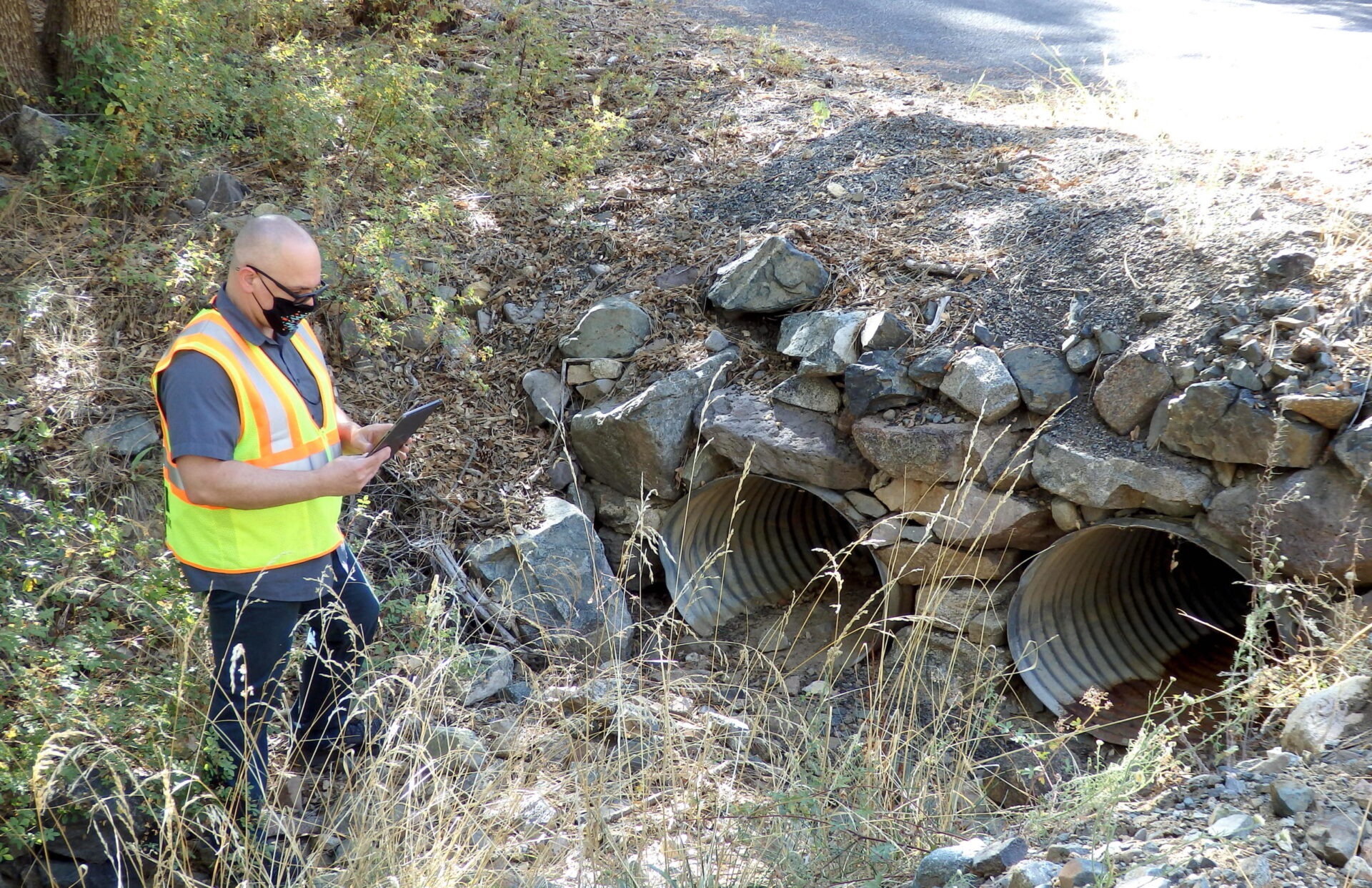
Know where assets are and what they are
Inventory, classify, and map your stormwater assets, with guidance from 2NFORM.
Understand how water flows through your community
See how each structural asset connects to receiving waters and how they work together.
Score asset health
Use 2NFORM’s protocols to translate field assessments into scores for each structural stormwater asset.
Protect your investment
Structural assets are expensive. Schedule maintenance on assets that need it the most to perform at peak capacity
Schedule work based on data
Know at a glance which assets require inspections and maintenance
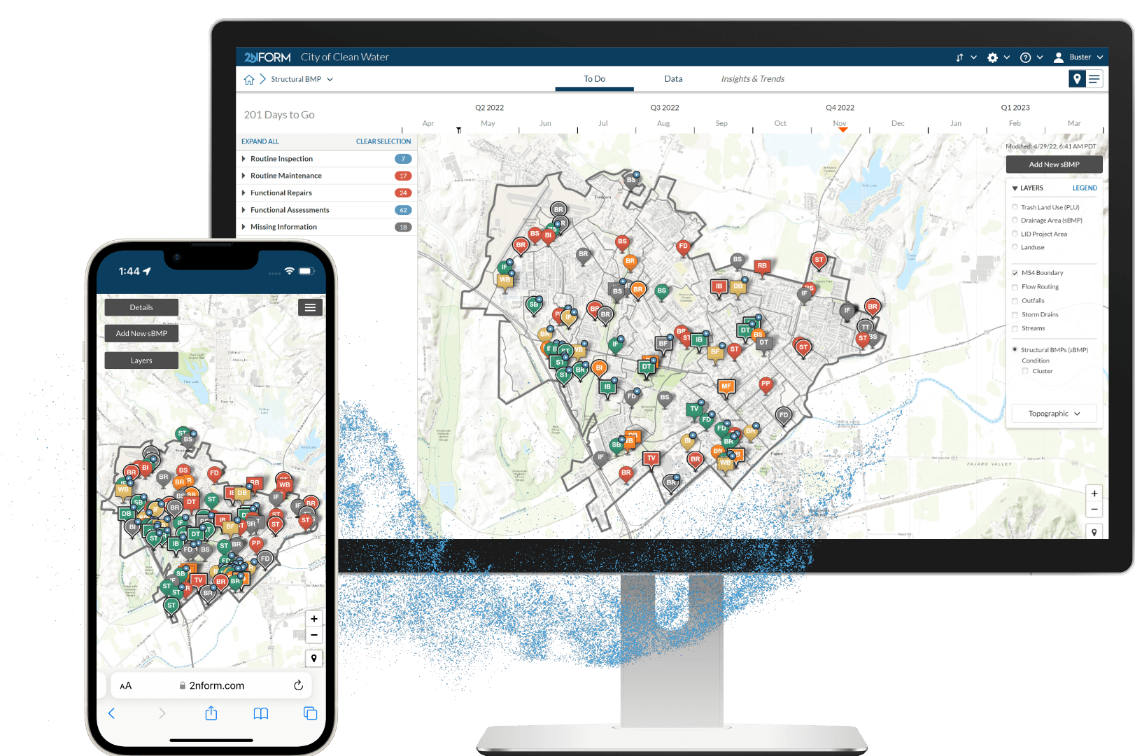
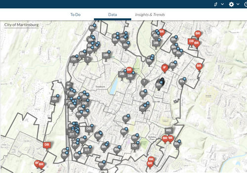
Monitor sBMP health
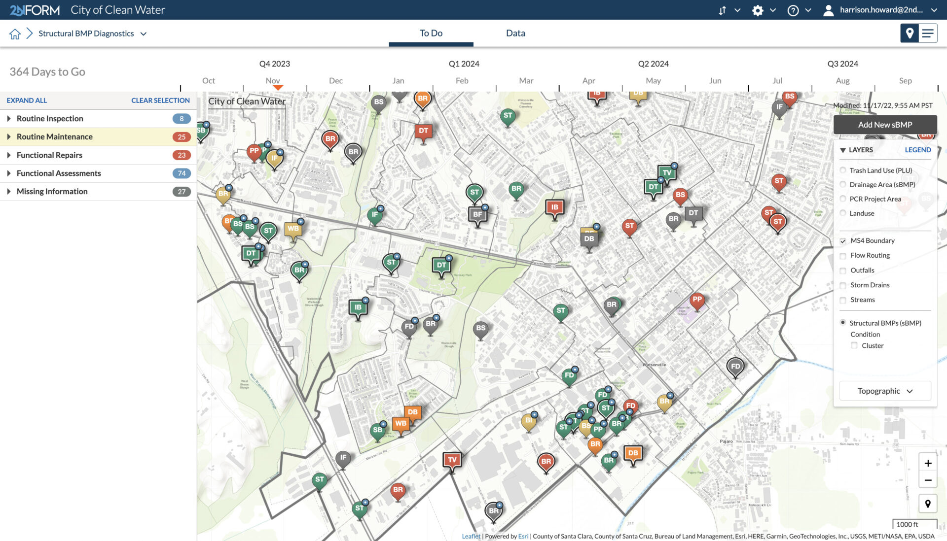
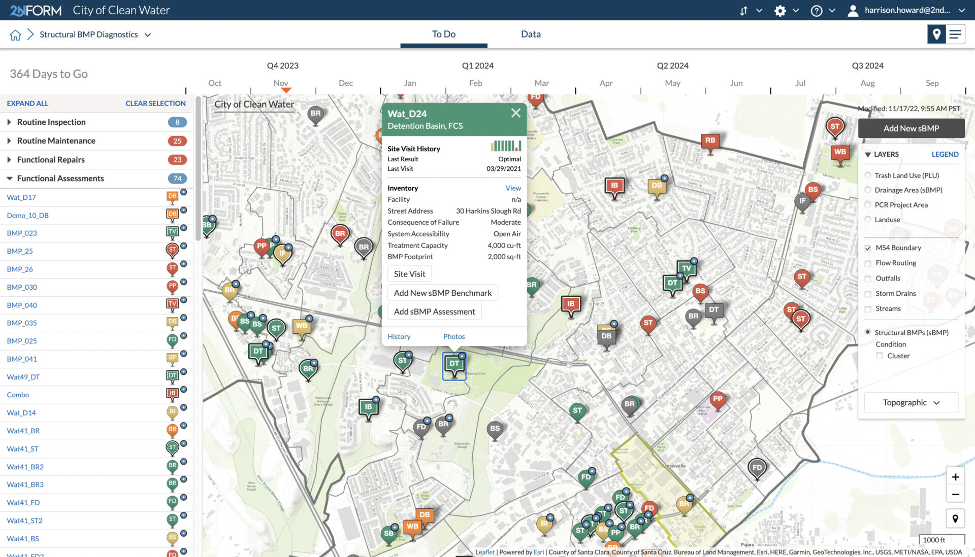
Map and categorize all of your sBMPs
2NFORM walks you through the process of mapping and categorizing all of your structural stormwater assets. This living map allows you to see the type and condition of each sBMP at any time.
2NFORM in action
Built in Capabilities

Streamlined compliance reporting

Intuitive problem solving with GIS
Data-driven insights and trends

Smartphones, not clipboards

Schedule and track work
Streamlined compliance reporting
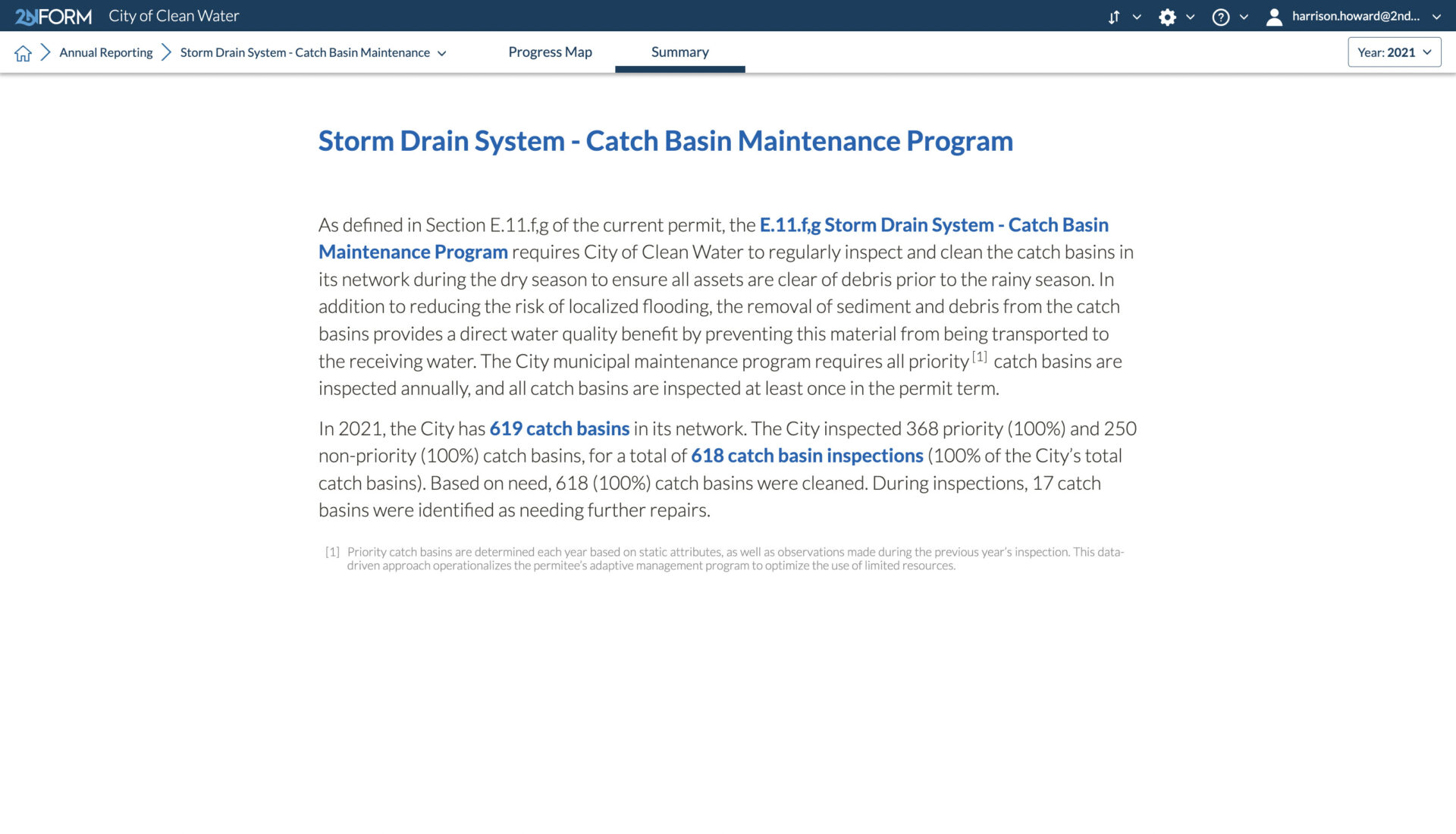
2NFORM streamlines the compilation of your MS4 annual report by summarizing the data your team has collected throughout the year into the relevant section of your permit. The software generates maps, tables and concise narratives populated with program details to summarize program progress and clean water impact of your program efforts.
2NFORM allows you to spend more time on strategic stormwater management and less time reporting to your regulator.
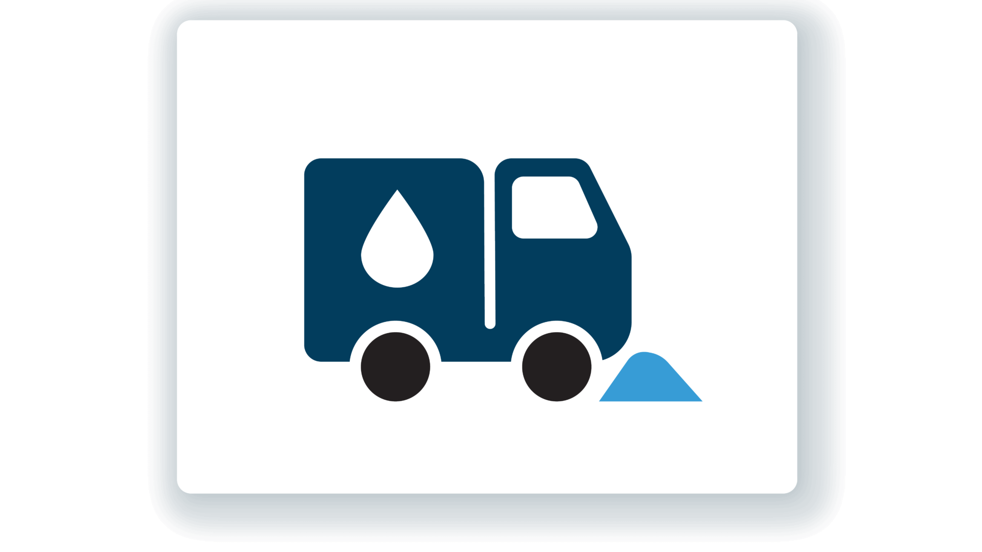
Municipal Maintenance Module
Streamline MS4 Good Housekeeping with 2NFORM. Manage assets, track inspections, and automate reporting using GIS for stormwater compliance.
View module
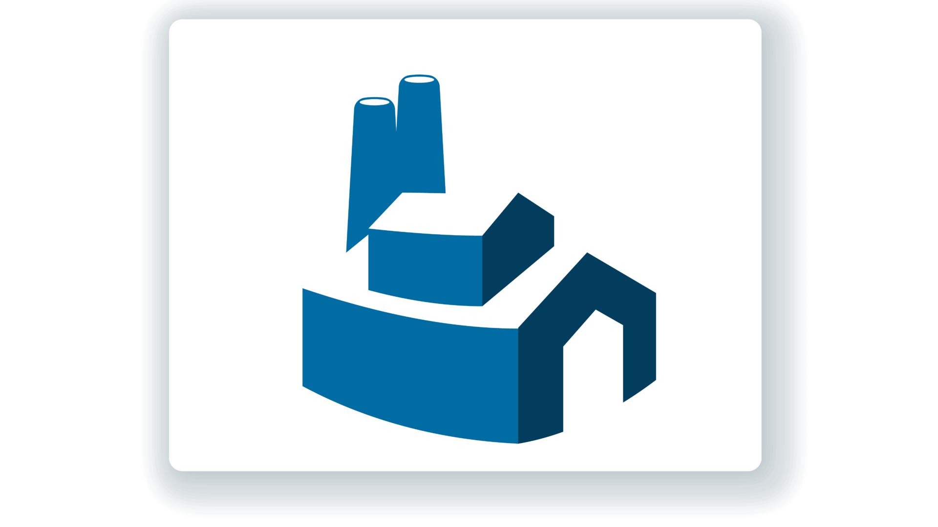
Industrial/ Commercial Module
2NFORM helps MS4 programs manage industrial and commercial compliance. Automate inspections, track data, and prioritize high-risk sites with GIS
View module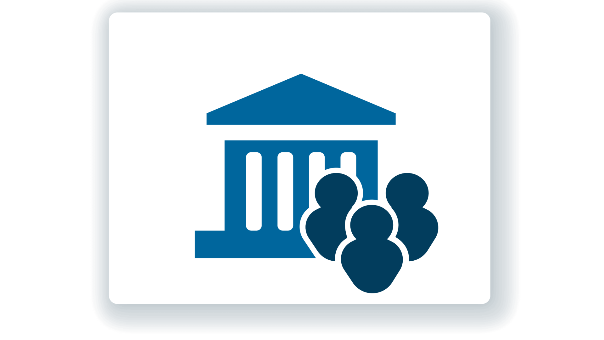
Public Education & Outreach Module
Make clean stormwater solutions actionable to your community
View moduleLet us help you map a better way
Book a personalized demo to see how our products provide the visibility you need to streamline compliance, achieve your goals, and focus your energy on clean waterways.