The built environments of urban areas are unique, sometimes in surprising ways. Take a recent study showing that cities are cloudier on average than rural areas. The reason may be due to another unique city dynamic: urban heat island effects. This post explores how modern stormwater management best practices can reduce urban heat islands.
Urban areas are home to 80% of the United States population and over half of the world’s population. With large numbers of people comes all the infrastructure for living, working, and moving from place to place. Pavement and buildings cover much of our cities, changing the flow of water and how heat is absorbed and emitted.
Summer in the city can be hot enough to inspire songs and encourage city dwellers to head out for cooler places like the beach. There’s a reason people are tempted to try to fry an egg on a sidewalk on hot summer days. Urban areas can be tens of degrees Fahrenheit hotter than surrounding, less developed regions. Even within a city, pavement is hotter than vegetation. Our sense that cities are hot is backed up by both thermometers and satellite observations across broad areas.
Satellite imagery was also critical for comparing urban and rural cloudiness. The study’s authors analyzed terabytes of data from across the US from the MODIS satellite. Their results show that cities are cloudier than neighboring areas, particularly at night during the summer. Their interpretation is that the hotter air of the city evaporates moisture during the day, and the water vapor condenses into clouds at night. Cooler air in the rural areas has less ability to evaporate moisture, so fewer clouds form.
Pavement and Stormwater
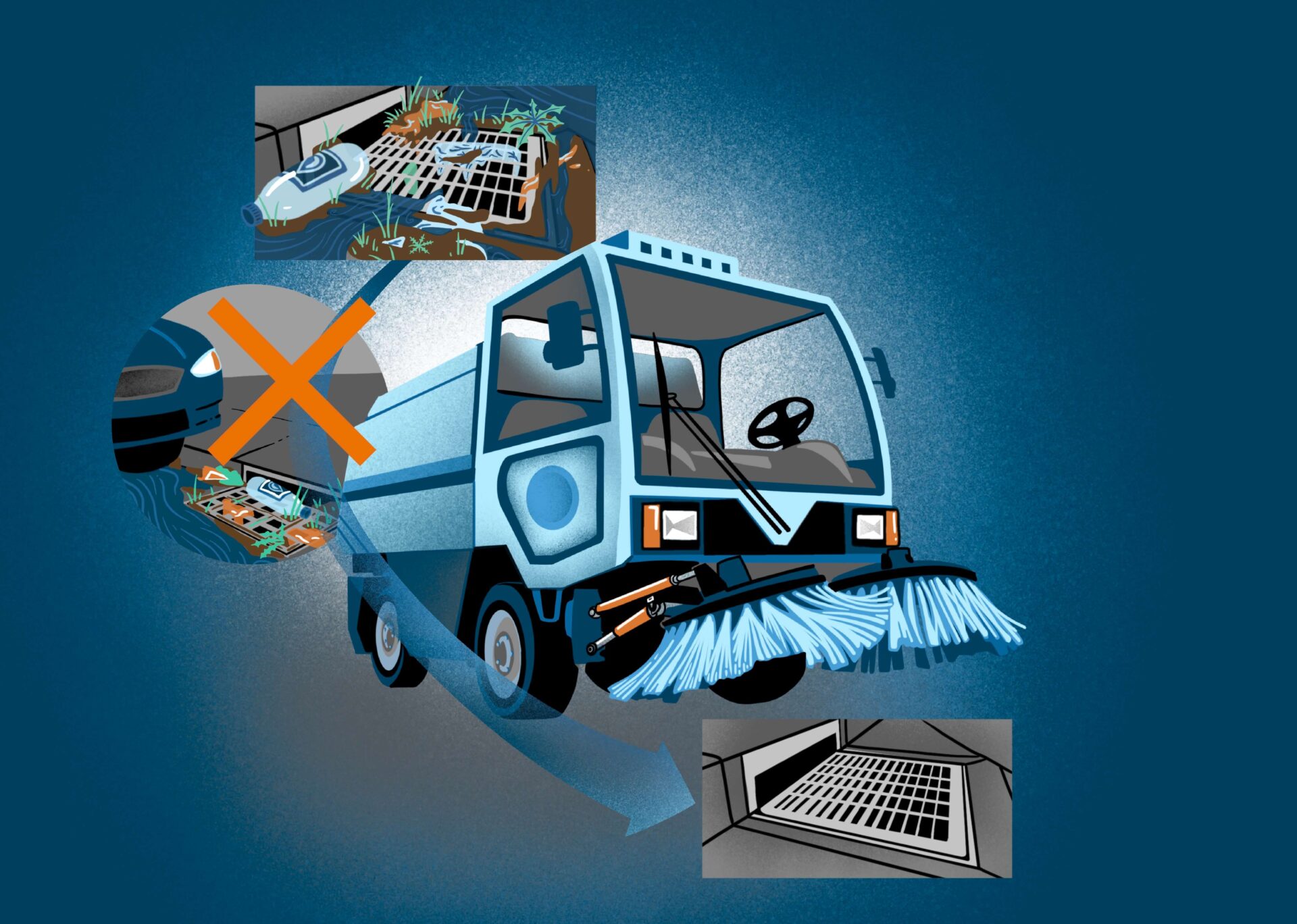
Urban pavement and buildings affect water in cities in another crucial way: they increase the amount of rainfall that builds up on the surface of the land instead of soaking into the ground. These impervious surfaces cause more rainfall to become stormwater flowing rapidly across streets and parking lots, picking up any pollutants like pesticides or fertilizers along the way.
The end result is more flooding and water pollution. Both are bad for the health of ecosystems and for people living within and downstream of cities.
2NDNATURE is dedicated to helping cities, companies, and other groups manage their urban landscape and stormwater better so that they can be more resilient. That includes developing technology to help reduce urban heat islands. Key to these efforts is providing actionable information to stormwater managers and stakeholders. We help map the urban landscape, including impervious areas, land use, and stormwater infrastructure. We can then predict how much stormwater and pollution will be produced in different areas, how much treatment is already being done through efforts like street sweeping and retention ponds, and how much benefit future efforts might generate. With this meaningful spatial data in an accessible, dynamic format, stormwater managers can help cities become cleaner and healthier.
Stormwater Management and Reducing Urban Heat Islands
Stormwater actions can also lead to cooler cities. Maybe that also means that they can lead to sunnier cities, too. Cities are hotter, cloudier and generate more stormwater. The good news is that the same action may help to address each problem! Green stormwater infrastructure can help retain rainfall and let it soak into the ground. It also supports vegetation that decreases urban heat island effects. More greenspace can also improve the quality of life for local residents who can enjoy the new urban greenery. The result is a more resilient city with milder heat waves, less flooding, and stronger communities.
2NDNATURE incorporates multi-benefits—less flooding, better water quality, more water supply, and better community conditions—in guiding better stormwater management. Our metrics allow users to compare the relative benefits of stormwater projects for different properties that they manage. The metrics can be given different weights based on what you care most about.
Users can also quickly assess the benefits for environmental justice communities, our most at-risk neighborhoods. Our tools ensure that resources are shared equitably across regions and address the many environmental and social needs of cities.
The Evolving Science
The science of cities continues to build and evolve with better data, tools, and insights. For example, more clouds at night may be connected to intense nighttime storms. The core of 2NDNATURE is stormwater science. We are committed to using cutting-edge science to build products that help green our cities.
Our cities are key to a sustainable, resilient future. They are where most of us live. How hot, wet, and green they are impacts our lives in ways we are still learning about. As the climate and the biosphere change, and as more people move to cities, 2NDNATURE tools will help people use technology to make better stormwater management decisions for the benefit of all.