Plan and Track Outreach Efforts
Easily plan, organize, and monitor events, campaigns, and outreach materials—all in one centralized platform.
Simplify Compliance Reporting
Automate reporting to demonstrate outreach compliance clearly and efficiently, saving time and reducing errors.
Measure What Matters
Quantify outreach impact with real-time data to show measurable results and improve program effectiveness.
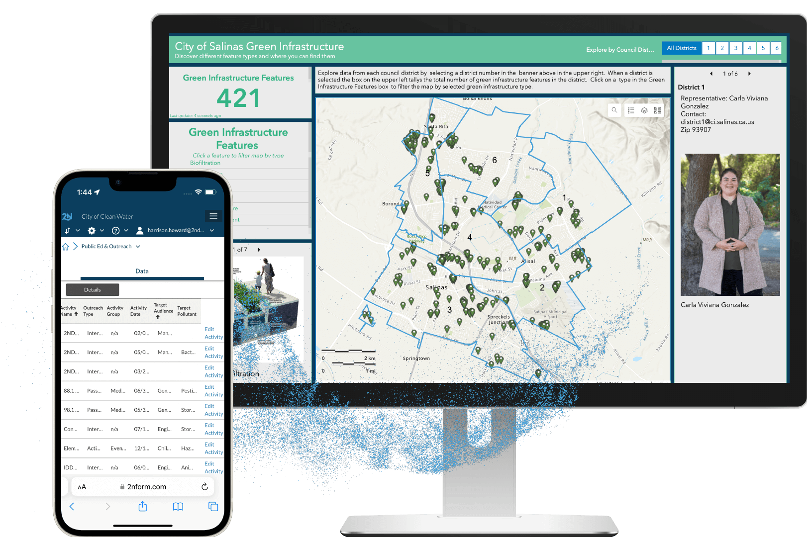
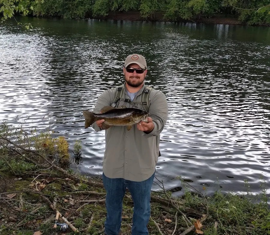
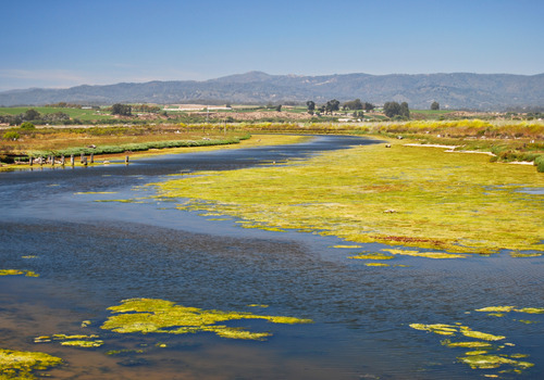
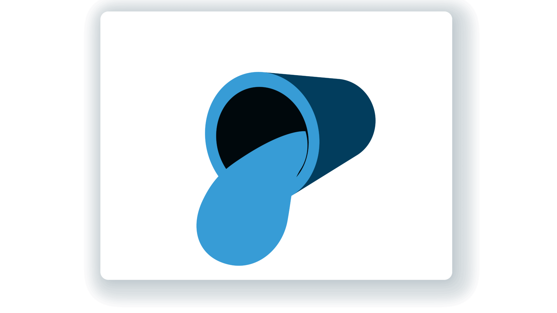
Get the community involved in making the water cleaner
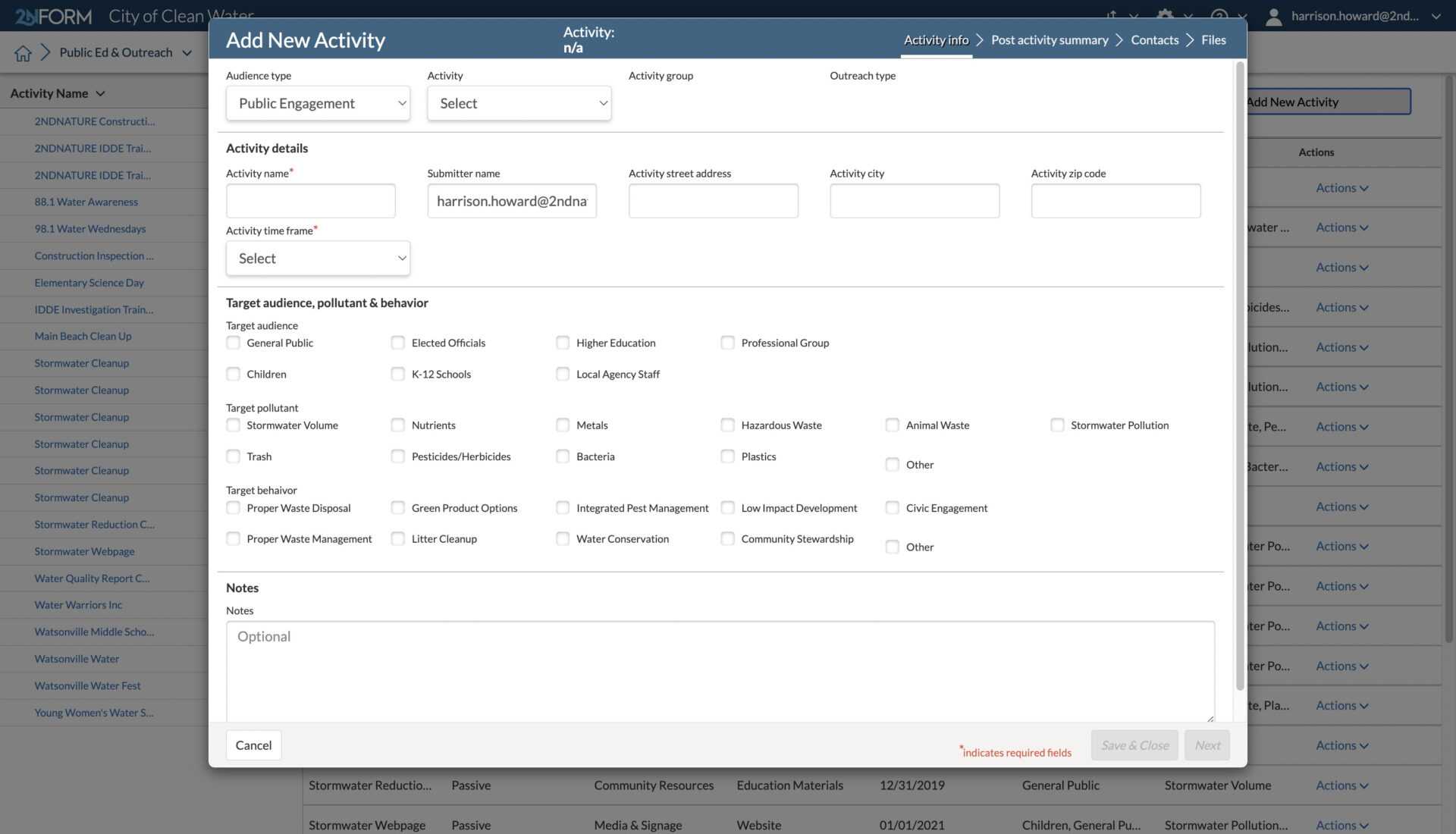
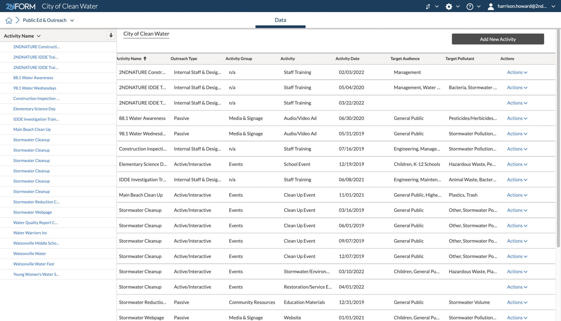
Record the right data points for different activities
For passive engagement activities, like radio or television ads, track impressions, such as a radio station’s estimate of its listening audience.
For active or interactive engagement activities, like trash cleanups, record numbers of attendees or quantities of trash picked up.
Built-in forms and glossaries make sure that you enter the right information and have it at your fingertips for compliance reporting.
2NFORM in action

Built-in capabilities
Streamlined compliance reporting
Intuitive problem solving with GIS
Data-driven insights
Smartphones, not clipboards
Schedule and track work
Streamlined compliance reporting
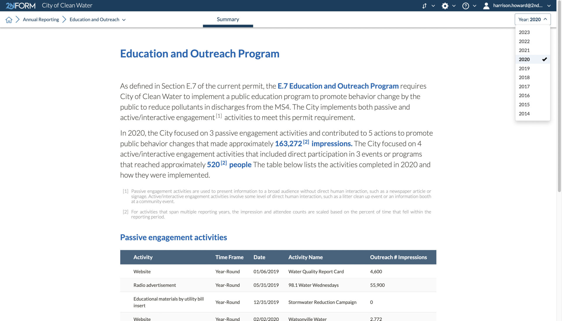
2NFORM streamlines the compilation of your MS4 annual report by summarizing the data your team has collected throughout the year into the relevant section of your permit. The software generates maps, tables and concise narratives populated with program details to summarize program progress and clean water impact of your program efforts.
2NFORM allows you to spend more time on strategic stormwater management and less time reporting to your regulator.
More 2NFORM Modules you may like
Illicit Discharge Module
2NFORM simplifies MS4 IDDE programs. Use GIS mapping, real-time inspections, and automated reporting to detect and eliminate illicit discharges.
View module
Construction Module
Streamline SWPPP compliance with 2NFORM. Manage inspections, erosion controls, and stormwater requirements efficiently for MS4 programs
View moduleLet us help you map a better way
Book a personalized demo to see how our products provide the visibility you need to streamline compliance, achieve your goals, and focus your energy on clean waterways.