
MS4 Compliance doesn’t have to be so hard
Demystify Your Stormwater Program
The semantics and terminology vary widely across MS4 permits, but the data and information required to demonstrate compliance to regulators is eerily consistent. Provide your teams with tools and processes that support compliant consistent stormwater information management.
Spend time on work that matters
Organizing records, scheduling compliance activities and compiling reports are a major time sink for stormwater managers.
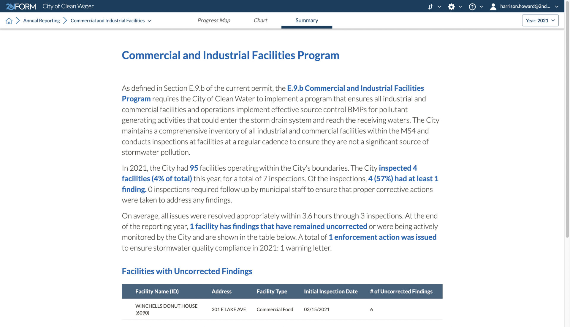
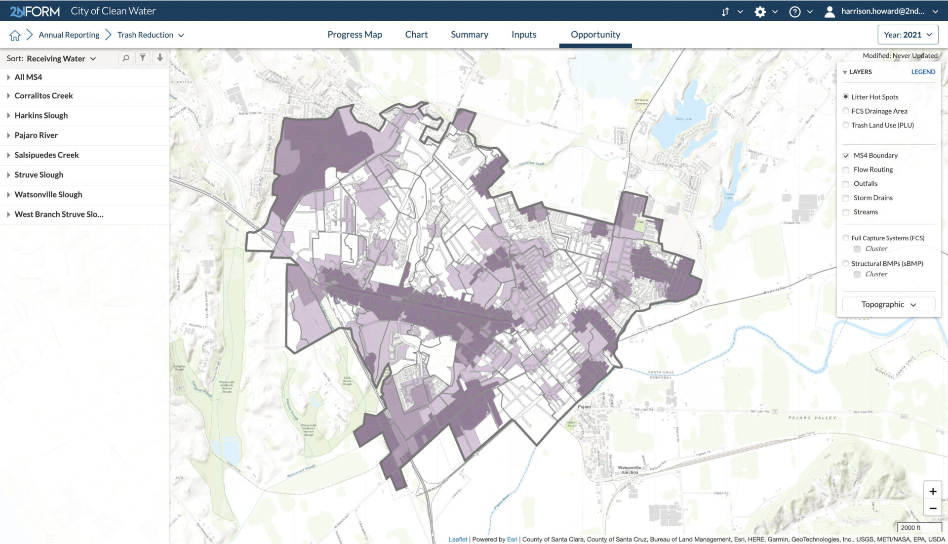
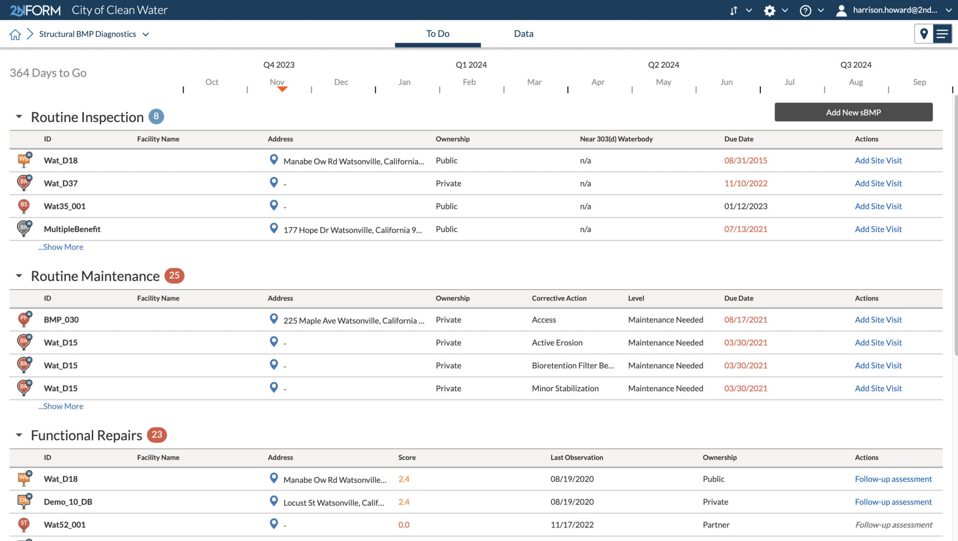
2NFORM does the busy work for you. To-do lists and color-coded interactive maps, help you and your team prioritize tasks for each permit section throughout the year to ensure requirements are met. Annual reports take minutes, not months to compile, because 2NFORM takes data already in the system and outputs it as useful tables, charts, graphs, and summaries that you can submit digitally or on paper.
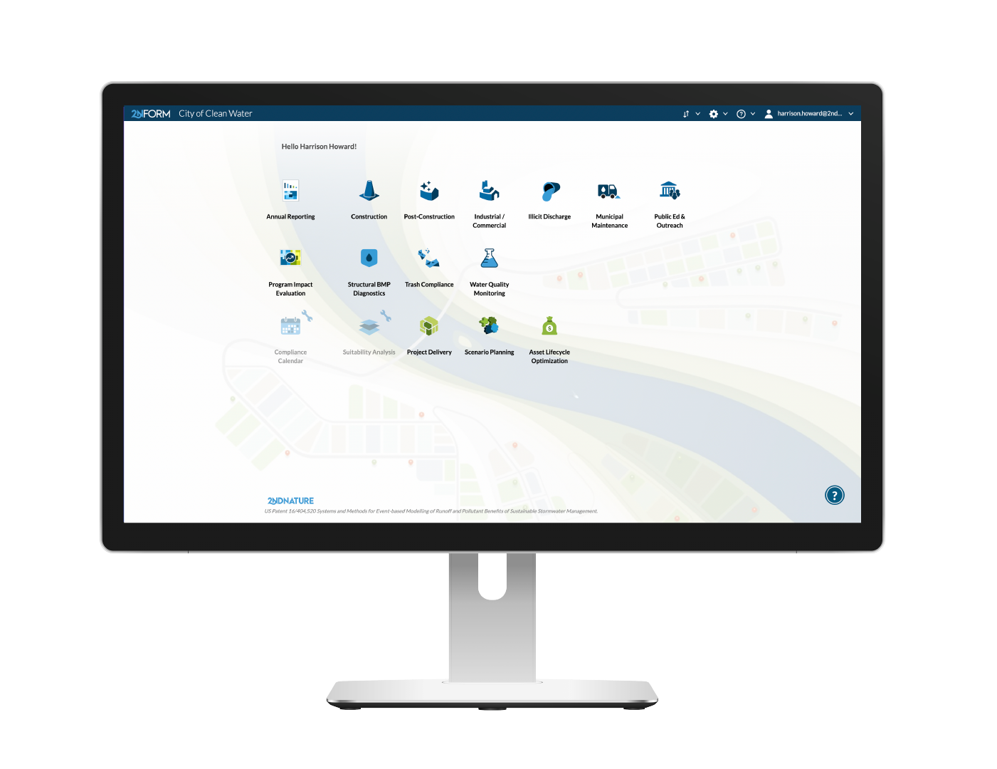
Minimum Control Measures & More

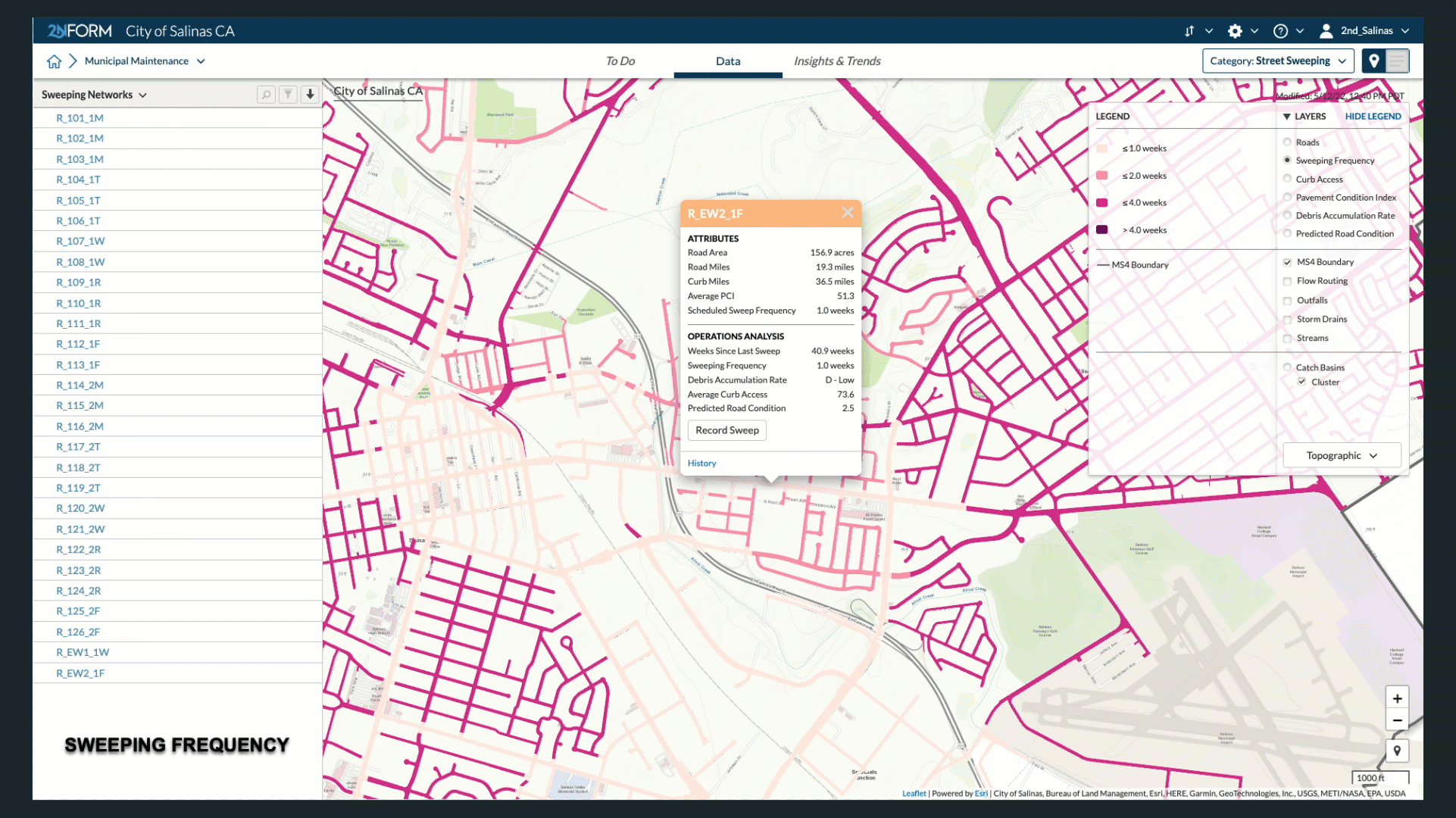
Municipal Maintenance

Structural BMP Diagnostics

Trash Compliance

Illicit Discharge

Construction
Municipal Maintenance: Keep your house in order by inventorying assets and optimizing operations
Build and maintain your O&M plan electronically to reduce and prevent polluted runoff from municipal operations reaching your waterways.
Organize the day-to-day tasks for the four fundamental requirements of your municipal maintenance program: catch basins, street sweeping, structural BMPs, and outfall inspections.

Asset Management isn’t the same as MS4 compliance tracking. It was a square peg that we were trying to fit into a round hole. 2NFORM speaks our language. This is software made for stormwater management."
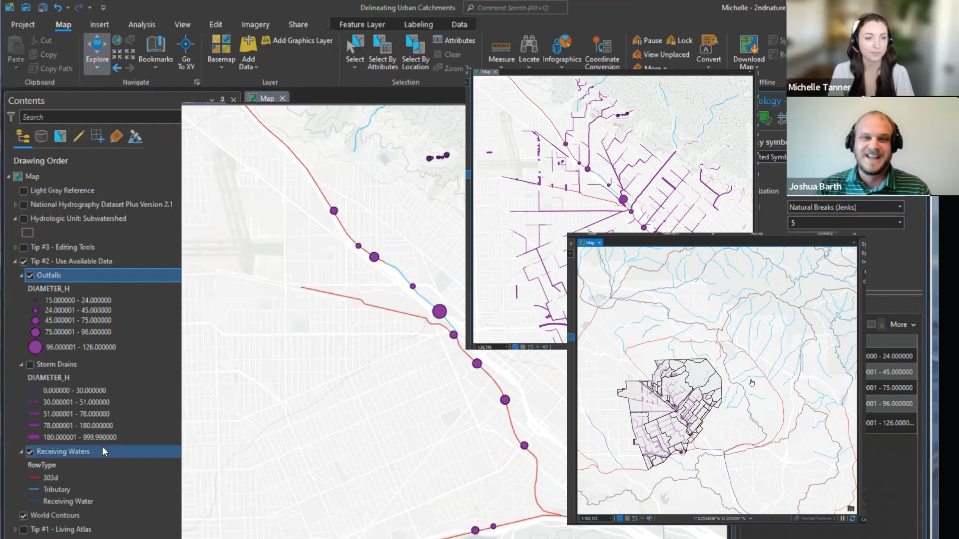
Learn how Jared and his team are using GIS to transform the daily work of stormwater management.
Read case study
Always learning
Dive Into Our Helpful Resources
2NDNATURE case studies
2NDNATURE resources
2NDNATURE blog
Software purpose-built for municipal stormwater managers
Work smarter, with software that saves time and effort so that you can focus on the big picture: improving water quality and growing climate resilience for your community.